


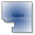
Spalding Voting Precinct, Greeley County, Nebraska
About
Outline

Summary
| Unique Area Identifier | 613196 |
| Name | Spalding Voting Precinct |
| County | Greeley County |
| State | Nebraska |
| Area (square miles) | 123.89 |
| Land Area (square miles) | 123.76 |
| Water Area (square miles) | 0.13 |
| % of Land Area | 99.89 |
| % of Water Area | 0.11 |
| Latitude of the Internal Point | 41.65104210 |
| Longtitude of the Internal Point | -98.40499970 |
Maps


Graphs
Select a template below for downloading or customizing gragh for Spalding Voting Precinct, Greeley County, Nebraska


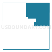
Neighbors
Neighoring Voting District (by Name) Neighboring Voting District on the Map
- Voting District 1P, Wheeler County, NE
- Cedar Precinct, Boone County, NE
- Dublin-Bonanza Precinct, Boone County, NE
- Greeley Voting Precinct, Greeley County, NE
- Wolbach 2 Voting Precinct, Greeley County, NE
Top 10 Neighboring County Subdivision (by Population) Neighboring County Subdivision on the Map
- Spalding precinct, Greeley County, NE (815)
- Greeley precinct, Greeley County, NE (745)
- Cedar precinct, Boone County, NE (609)
- Bartlett precinct, Wheeler County, NE (558)
- Wolbach precinct, Greeley County, NE (423)
- Dublin-Bonanza precinct, Boone County, NE (303)
Top 10 Neighboring Place (by Population) Neighboring Place on the Map
Top 10 Neighboring Unified School District (by Population) Neighboring Unified School District on the Map
- Boone Central Schools, NE (3,658)
- Greeley-Wolbach Public Schools, NE (1,153)
- Cedar Rapids Public Schools, NE (896)
- Spalding Public Schools, NE (812)
- Wheeler Central Schools, NE (772)
Top 10 Neighboring State Legislative District Upper Chamber (by Population) Neighboring State Legislative District Upper Chamber on the Map
Top 10 Neighboring 111th Congressional District (by Population) Neighboring 111th Congressional District on the Map
Top 10 Neighboring Census Tract (by Population) Neighboring Census Tract on the Map
- Census Tract 9601, Boone County, NE (3,626)
- Census Tract 9709, Greeley County, NE (2,538)
- Census Tract 9736, Wheeler County, NE (818)